
KAW · medium airport
Kawthoung Airport
Kawthoung, Myanmar
Airports
KAWmedium airport
Kawthoung Airport
Kawthoung, Myanmar
Explore Kawthoung city guide Navigate to this airport1
Routes out
1
Destinations
VYKT
ICAO
180 ft
Elevation
TravelerPulse profile
Gateway to Myanmar's southernmost tip on the Andaman Sea.
Location
Kawthoung, Myanmar
Kawthoung Airport (IATA: KAW, ICAO: VYKT) serves Kawthoung, the southernmost town in Myanmar, located at the tip of the Tanintharyi Region on the Andaman Sea coast. The airport provides essential air connectivity for this relatively remote area, which is otherwise accessible mainly by boat from Ranong, Thailand, just across the Pak Chan River.
The airport handles limited domestic scheduled services, primarily connecting Kawthoung to Yangon and other regional cities within Myanmar. It plays an important role for local residents, government officials, and travelers exploring the Mergui Archipelago, a popular destination for diving and eco-tourism.
Kawthoung itself is a border town with close economic and cultural ties to Thailand, and the airport supplements the busy cross-border boat traffic that characterizes travel in this corner of Southeast Asia.
Terminals
The airport has a single small terminal building handling limited domestic passenger traffic.
Getting to & from
Ground transport from the airport to Kawthoung town center is available by taxi or local vehicles, with the town also reachable by boat from Ranong, Thailand.
Airlines here
Air KBZ and Myanmar Airways have operated domestic routes connecting Kawthoung to Yangon, though schedules are subject to change.
Notable facts
- ›Kawthoung is the southernmost town in Myanmar, and the airport reflects this remote frontier character.
- ›The airport sits near the border with Thailand, separated from Ranong by the Pak Chan River.
- ›The Mergui Archipelago, a major diving and liveaboard destination, is accessible via Kawthoung.
- ›Scheduled services are infrequent and historically subject to suspension or changes by domestic carriers.
- ›The town was formerly known as Victoria Point under British colonial rule.
This profile is provided for general information only. Details may be inaccurate or outdated — always verify with the airport's official website before acting on them.
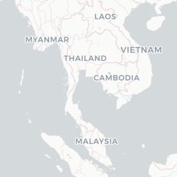
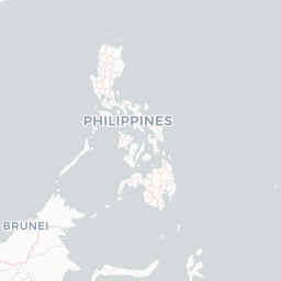
Route map (1 destinations)




Leaflet © OpenStreetMap © CARTO
Airlines serving this airport
Routes
KAW → MGZ6T · ATR
Aircraft operating here
Hotels near KAW
Pick what matters for your layover or early flight, then compare on your favorite booking site.
Compare stays for your dates
IndianAirports may receive compensation when you book or purchase through some of the links on this page, at no additional cost to you. Prices and availability are set by the booking provider and may change. We never share your private trip details with partners — only the destination, dates and party size you searched.
City & Place Guide
No guide exists for this place yet — Click to generate a Traveler Pulse guide.
Passport, Visa & Immigration
Flying internationally via KAW? Check entry, transit and customs requirements for Myanmar from official government sources.
Latest news
Global New Light Of Myanmar· 5/18/2026
Taninthayi Region CM inspects Kawthoung airport, power projects
Read at Global New Light Of Myanmar
Global New Light Of Myanmar· 6/13/2024
7 domestic airports to undergo upgrades this FY
Read at Global New Light Of Myanmar
Myanmar Digital News· 5/2/2020
MNA resumes Yangon-Kawthoung flight
Read at Myanmar Digital News
Global New Light Of Myanmar· 5/18/2026
Ayeyawady Region Chief Minister calls for further development of agriculture, livestock, and factories
Read at Global New Light Of Myanmar
Global New Light Of Myanmar· 5/18/2026
Union Minister for Border Affairs inspects regional development projects in Mandalay Region
Read at Global New Light Of Myanmar