
Show Low Regional Airport
Show Low, United States

Show Low Regional Airport
Gateway to Arizona's White Mountains high country.
- ›Situated at approximately 6,415 feet MSL, making it one of the higher-elevation commercial airports in Arizona.
- ›Serves as an Essential Air Service (EAS) designated airport due to the region's remoteness.
- ›The airport has a runway length sufficient to accommodate turboprop regional aircraft.
- ›The surrounding White Mountains attract seasonal tourists for skiing at Sunrise Park Resort and summer recreation.
- ›Show Low city gets its name from a legendary card game that determined land ownership in the 1870s.
Show Low Regional Airport (SOW) is a small general aviation and regional commercial airport serving the White Mountains community of Show Low, Arizona. Situated at an elevation of roughly 6,415 feet in the Apache-Sitgreaves National Forest region, it offers seasonal and charter services connecting this mountain town to major hubs. The airport plays a vital role for residents and outdoor recreation visitors accessing skiing, hiking, and fishing in the surrounding highlands.
- Main Terminal — A single compact terminal handling ticketing, baggage, and passenger processing for regional and charter flights.
- Rental cars (available on-site through local agencies)
- Taxi and rideshare services from Show Low
- Private vehicle drop-off and pick-up
- Holiday Inn Express Show Low
- Best Western Inn of Pinetop
- Comfort Inn Show Low
- Days Inn by Wyndham Show Low
Dining options within the terminal itself are extremely limited given the airport's small scale, so travelers are advised to eat before arriving. Show Low's downtown area, just a short drive away, offers a solid range of casual dining, including steakhouses, diners, and Southwest-cuisine restaurants.
- Arrive early as the terminal is small and staffing can be limited during peak seasons.
- Rent a car at the airport — Show Low and surrounding White Mountains attractions require personal transport.
- Weather can change rapidly at 6,400 feet elevation; check forecasts as flights may be affected by winter conditions.
- Summer monsoon season (July–September) can cause afternoon flight delays, so plan connections with extra buffer time.
AI-assisted overview, verified against public sources.
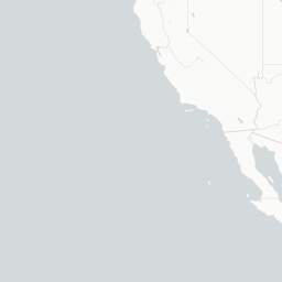
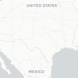
Route map (2 destinations)




Airlines serving this airport
Routes
Aircraft operating here
Pick what matters for your layover or early flight, then compare on your favorite booking site.
IndianAirports may receive compensation when you book or purchase through some of the links on this page, at no additional cost to you. Prices and availability are set by the booking provider and may change. We never share your private trip details with partners — only the destination, dates and party size you searched.
City & Place Guide
No guide exists for this place yet — Click to generate a Traveler Pulse guide.
Passport, Visa & Immigration
Flying internationally via SOW? Check entry, transit and customs requirements for United States from official government sources.

Show Low Regional Airport is 2 miles east of Show Low, in Navajo County, Arizona, United States. It is used for general aviation and commercial services provided by Southern Airways Express which is subsidized by the federal government's Essential Air Service program at a cost of $1,672,000(per year). The National Plan of Integrated Airport Systems for 2011–2015 categorized it as a non-primary commercial service airport.
Read full article on Wikipedia